Unit 1, 41 Performance Drive. Richmond hill ON
Skip to Main Content
Garmin Bluechart 174 Marine Cartography 010-C0742-00
606563_1_.jpg?width=100&quality=0.555345_1_.jpg?width=100&quality=0.5

Garmin Bluechart 174 Marine Cartography 010-C0742-00

0.00stars out of 5 ( 0 )
FREE SHIPPING
IN CANADA
90 DAYS RETURN
GUARANTEE
CANADIAN OWNED
IN ONTARIO
STARTING FROM
CAD$ 648.58
On Sale For
  SEE PRODUCT OPTIONS   ADD TO CART
Omnia icon

Omnia Product Expert is nline !

FOUND A LOWER PRICE? We'll Beat Any Lower Price You Find!

Some Condition Applies*

  Garmin Bluechart 174 Marine Cartography 010-C0742-00 SKU Listing / Specs

Purchase Part Number Image View Name Detail Specs UPC
SKU: 010-C0742-00
CAD$ 648.58

 Enlarged View

Garmin Bluechart 174 Marine Cartography 010-C0742-00
 SPECIAL ORDER
SPECIAL ORDER (Estimated Ship Date: 4 - 8 Weeks)
UpdatedOn: 10/3/2025 12:00:00 AM

  Universal Fit Product.

753759069223

 Hot Product recommendation:

  • Brand Name: GARMIN CHARTS Mfg#: 010-C0742-00
  • Shipping Weight: 0.30 lbs
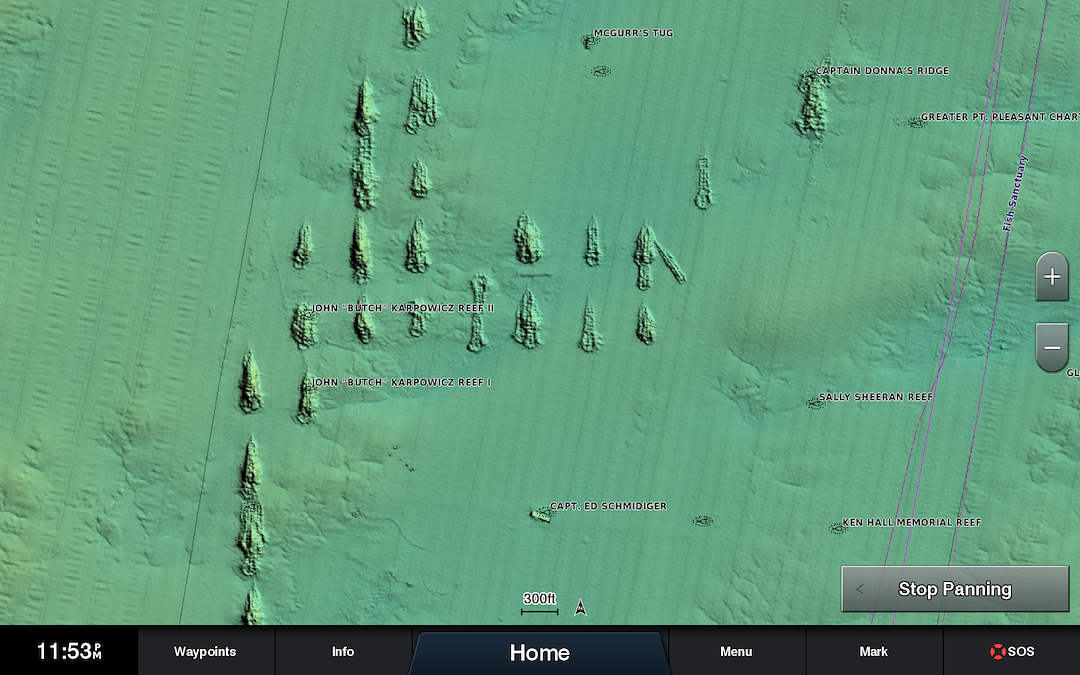
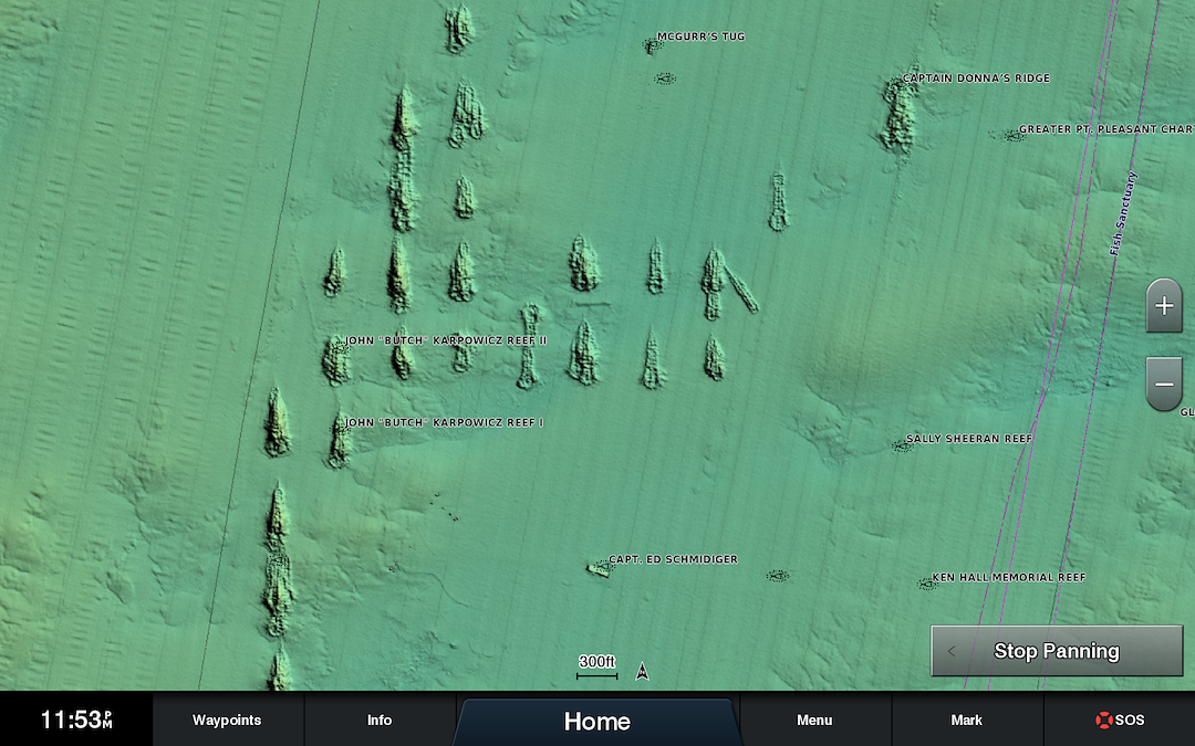
Detailed coverage of the Florida Peninsula from St. Mary's, GA through the Port of Miami to Fort Myers on the Gulf. Coverage includes the St. Johns River, Crescent Lake, Lake George, Lake Monroe, Lake Jesup, Lake Harney, Lake Okeechobee, the St. Lucie Canal, and Caloosahatchee R. in full. Detailed coverage also includes the Florida Keys, Bahamas and Turks and Caicos Islands. Bathymetric coverage of offshore features from Blake Canyon through Santaren Channel to the Torgtugas Terrace, including the Blake Escarpment and Great Bahama Bank.

 TRUSTED CANADIAN REVIEWS:

  Share A Review!  | Total Rating: 0
Loading...