


IN CANADA
GUARANTEE
IN ONTARIO

CAD$ 219.66
Omnia Product Expert is nline !
FOUND A LOWER PRICE? We'll Beat Any Lower Price You Find!
Some Condition Applies*
Garmin Lakev 252 Marine Cartography 010-C1087-00 SKU Listing / Specs
| Purchase | Part Number | Image View | Name | Detail Specs | UPC |
|---|---|---|---|---|---|
|
SKU: 010-C1087-00
CAD$ 219.66
|
 Enlarged View |
Garmin Lakev 252 Marine Cartography 010-C1087-00 SPECIAL ORDER
SPECIAL ORDER (Estimated Ship Date: 4 - 8 Weeks) UpdatedOn: 10/3/2025 12:00:00 AM |
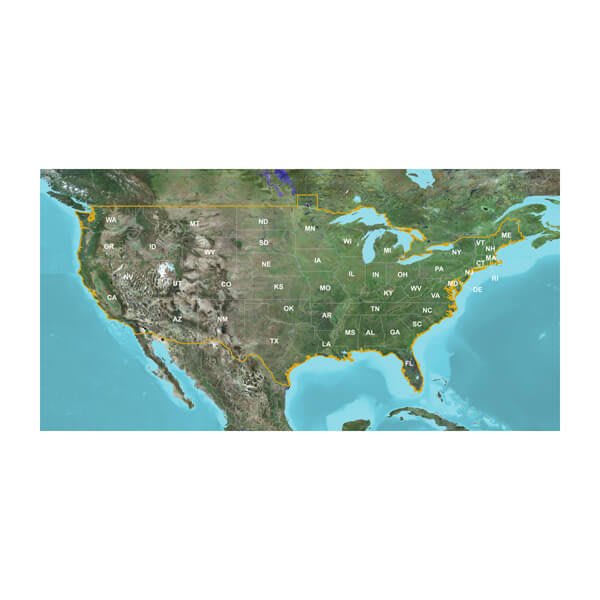
Universal Fit Product. LakeVü™ g3 - LUS100F - microSD™/SD™ The Advanced Freshwater Fishing Map Industry-leading coverage, clarity and detail with updated inland maps that feature integrated Garmin and Navionics® contentCoverage for more than 17,000 total lakes with up to 1’ contours that provide clearer lake floor views, so you can catch more fish Auto Guidance¹ technology quickly calculates a suggested route by using your desired depth and overhead clearance Includes Depth Range Shading for up to 10 depth ranges, enabling you to view your target depth at a glance To give a clear picture of shallow waters to avoid, the Shallow Water Shading feature allows for shading at a user-defined depth Experience unparalleled coverage and brilliant detail when you’re on the water. LakeVü g3 inland maps provide industry-leading coverage, clarity and detail with updated inland maps that feature integrated Garmin and Navionics content. Auto Guidance Whether you are fishing or cruising, select a spot, and get a route showing you the general path and nearby obstructions at a safe depth¹. Depth Range Shading This feature displays high-resolution Depth Range Shading for up to 10 depth ranges so you can view your designated target depth. Shallow Water Shading To give a clear picture of shallow waters to avoid, this feature allows for shading at a user-defined depth. Access Your Charts and Maps Download the ActiveCaptain® app to use OneChart™, which gives you access to all your charts and maps from your mobile device and even lets you purchase new ones. 1Auto Guidance is for planning purposes only and does not replace safe navigation practices. Auto Guidance is not included in preloaded LakeVü g3 for ECHOMAP™ Plus series chartplotters. WARNING: This product can expose you to chemicals which are known to the State of California to cause cancer, birth defects or other reproductive harm. For more information go to P65Warnings.ca.gov. This product may not be returned to the original point of purchase. Please contact the manufacturer directly with any issues or concerns. |
753759997489 |
Hot Product recommendation:


LakeVü™ g3 - LUS100F - microSD™/SD™
The Advanced Freshwater Fishing Map
- Industry-leading coverage, clarity and detail with updated inland maps that feature integrated Garmin and Navionics® content
- Coverage for more than 17,000 total lakes with up to 1’ contours that provide clearer lake floor views, so you can catch more fish
- Auto Guidance¹ technology quickly calculates a suggested route by using your desired depth and overhead clearance
- Includes Depth Range Shading for up to 10 depth ranges, enabling you to view your target depth at a glance
- To give a clear picture of shallow waters to avoid, the Shallow Water Shading feature allows for shading at a user-defined depth
Experience unparalleled coverage and brilliant detail when you’re on the water. LakeVü g3 inland maps provide industry-leading coverage, clarity and detail with updated inland maps that feature integrated Garmin and Navionics content.
Auto Guidance
Whether you are fishing or cruising, select a spot, and get a route showing you the general path and nearby obstructions at a safe depth¹.
Depth Range Shading
This feature displays high-resolution Depth Range Shading for up to 10 depth ranges so you can view your designated target depth.
Shallow Water Shading
To give a clear picture of shallow waters to avoid, this feature allows for shading at a user-defined depth.
Access Your Charts and Maps
Download the ActiveCaptain® app to use OneChart™, which gives you access to all your charts and maps from your mobile device and even lets you purchase new ones.
1Auto Guidance is for planning purposes only and does not replace safe navigation practices. Auto Guidance is not included in preloaded LakeVü g3 for ECHOMAP™ Plus series chartplotters.
WARNING: This product can expose you to chemicals which are known to the State of California to cause cancer, birth defects or other reproductive harm. For more information go to P65Warnings.ca.gov.
This product may not be returned to the original point of purchase. Please contact the manufacturer directly with any issues or concerns.